Why High-performance LiDAR Sensor Manufacturers Pair INS/GNSS for 3D Aerial Mapping
LiDAR sensor manufacturers, such as Livox, come to Inertial Sense, the premier provider of robust micro inertial navigation solutions, to integrate a GNSS-INS Sensor that provides high-grade attitude measurements with their high-performance 3D LiDAR for automotive, robotics and surveying 3D Mapping Applications.
The reliable and accurate GNSS-INS sensor is a crucial element for gyro stabilization of cameras, LiDAR georeferencing, and antenna tracking.
About Customer: Livox LiDAR
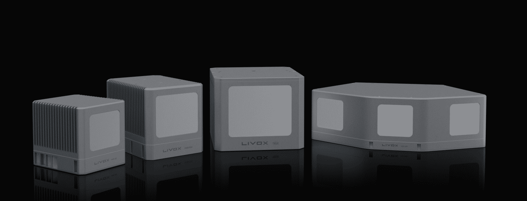
With a line of advanced sensor units, Livox offers companies and developers a reliable route for incorporating this technology into survey projects and autonomous vehicle platforms. Livox sensors’ performance, affordability, and reliability enable it to be used in autonomous driving, robotics and UAV surveying and mapping.
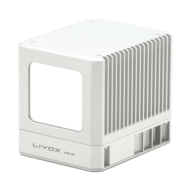
Livox MID-40 LiDAR sensor
Challenge
Finding and integrating high accuracy low-cost INS data into LiDAR sensor for use in harsh environments
Livox MID-40 LiDAR sensor and Inertial Sensor INS are used in harsh environments where there are vibrations from the aerial craft. This creates a big problem for most Inertial Measurement Units. ”INS and GNSS are necessary to compensate for LiDAR movement (both rotation and translation) during drone flight”. As the UAS was flying in the air, motion is inevitable due to air turbulence, propeller motion, and other external and internal forces.
By incorporating data from an INS it is possible to measure all LiDAR movements, including vibration, which is required for sensor fusion and mapping. Flying with the companion INS separates the payload from drone and allows Livox customers the flexibility to choose any drone platform.
To keep the total cost of the survey application down, Livox paired the low-cost, tight angular accuracy INS sensors from Inertial Sense. Using an external INS from Inertial Sense, Livox was able to combine and sync data due to its openness and ease of use.
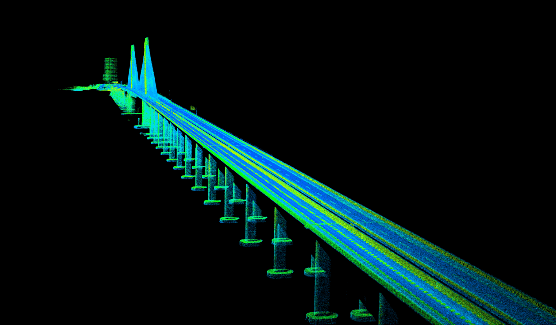
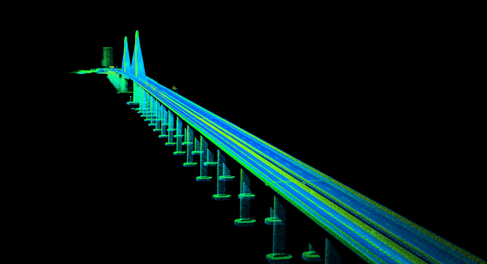
The rotation and translation measured by INS sensor matched to the LiDAR data needed to be accurate to the centimeter to achieve the finest detail aerial mapping. A good example would be the 3km-long Huizhou Bay Bridge, located in Huizhou, Guangdong, China.
Solution
Inertial Sense µINS – GNSS aided Inertial Navigation System (GNSS-INS)
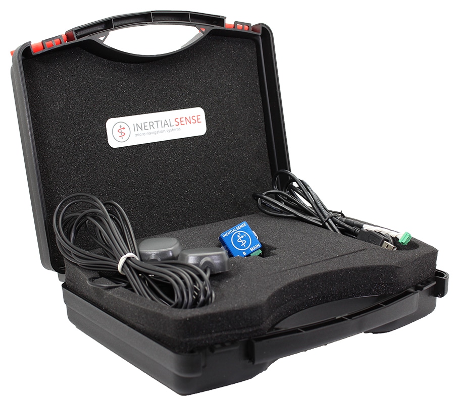
Livox LiDAR sensor manufacturer came to Inertial Sense, the premier provider of robust micro inertial navigation solutions, looking for an efficient and affordable complete INS solution to help them with their aerial mapping task. To start the development and integration, Livox selected µINS development kit. The development kits include the unit you select, antennas, appropriate cables to connect to the system as well as technical support for system integration.
Main technical characteristics: up to 1KHz IMU, 500Hz INS Update Rate; measurement range of angular resolution 0.1 degrees roll/pitch, GNSS update rate is 5Hz, power voltage 3.3 V; overall dimensions: 35.9 x 25.4 x 11.2mm, weight 10.5g. For technical specifications please see the datasheet link below.
GPS (GNSS) aided Inertial Navigation System (GPS-INS) development kit
The uINS Development Kit provides the necessary components for quick and easy evaluation and application development.
uINS GPS aided Inertial Navigation System for fast and convenient evaluation. Real-Time Kinematic (RTK) Position accuracy.
The Inertial Sense µINS is a miniature, GNSS aided Inertial Navigation System (GNSS-INS) module that includes all the functionality of the µAHRS and provides orientation, velocity, and position. RTK Base station correction data can be applied to achieve CM level precision. Sensor data from MEMs gyros, accelerometers, magnetometers, barometric pressure, and GNSS is fused to provide an optimal estimation.
Result
Livox was able to improve final data point accuracy to build a 3D Aerial map to its finest details
Livox LiDARs paired with Inertial Sensor’s miniature, low-cost, GNSS aided Inertial Navigation System (GNSS-INS) module made aerial mapping become more efficient and affordable than ever.
INS advanced algorithms provide output from MEMs inertial sensors, magnetometers, barometric pressure, and high-sensitivity GNSS receivers with centimeter accuracy to obtain fast, accurate, and reliable attitude, velocity, and position data during aerial mapping.
With accurate INS data (position and pose) from the sensors, Livox was able to improve final data point accuracy. Livox was able to project all data points to an Earth frame, to build a global map and achieve good accuracy mapping of the entire Huizhou Bay Bridge bridge down to its finest details.
Livox (source: https://www.livoxtech.com/showcase/1)