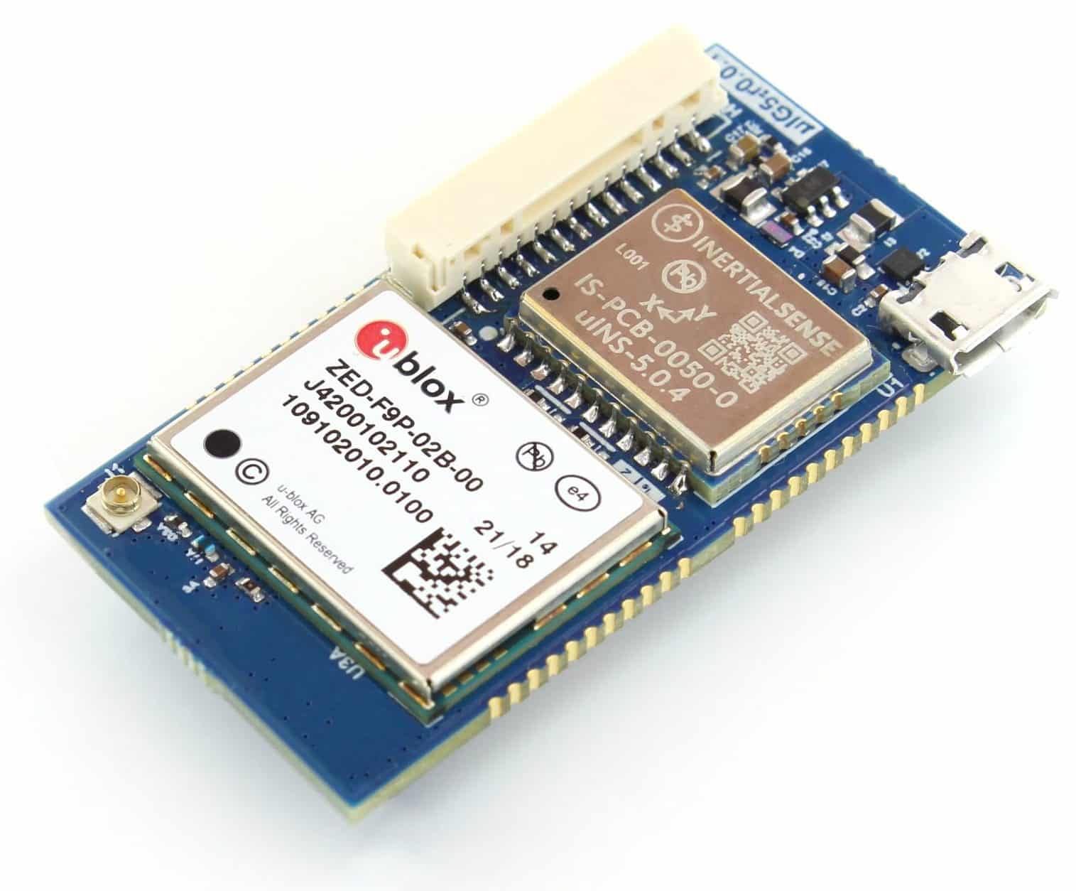
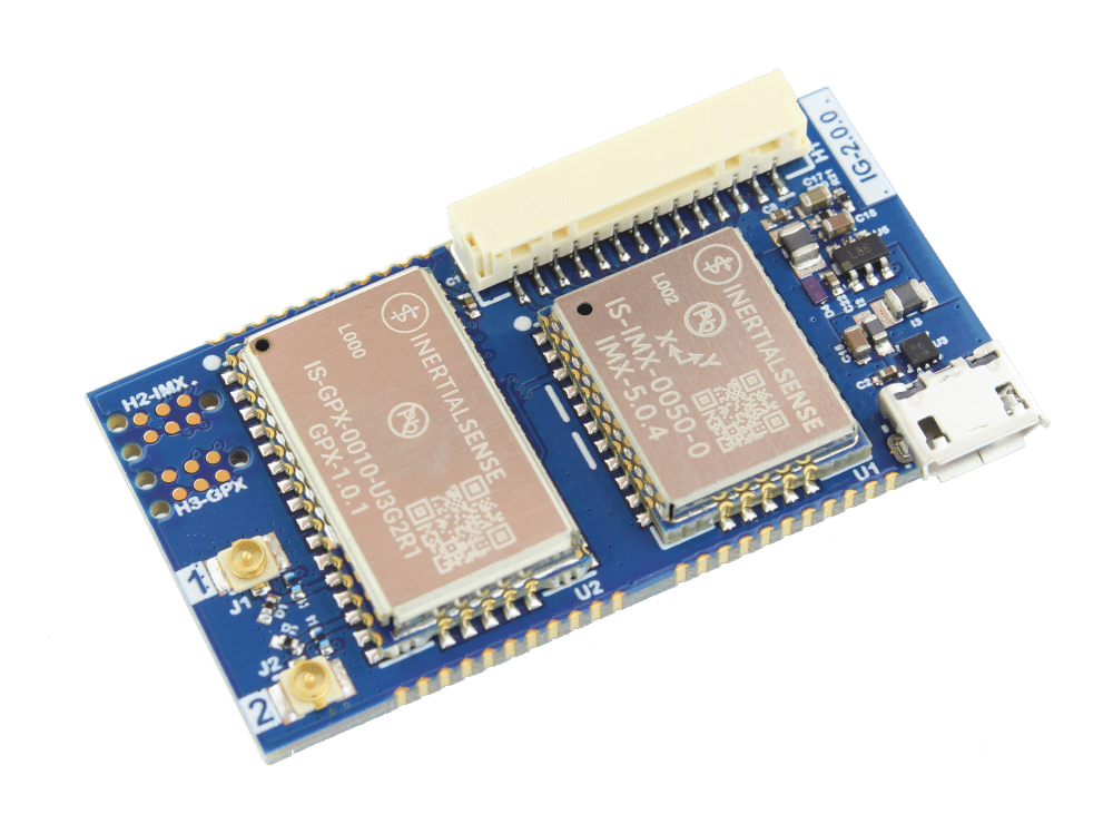
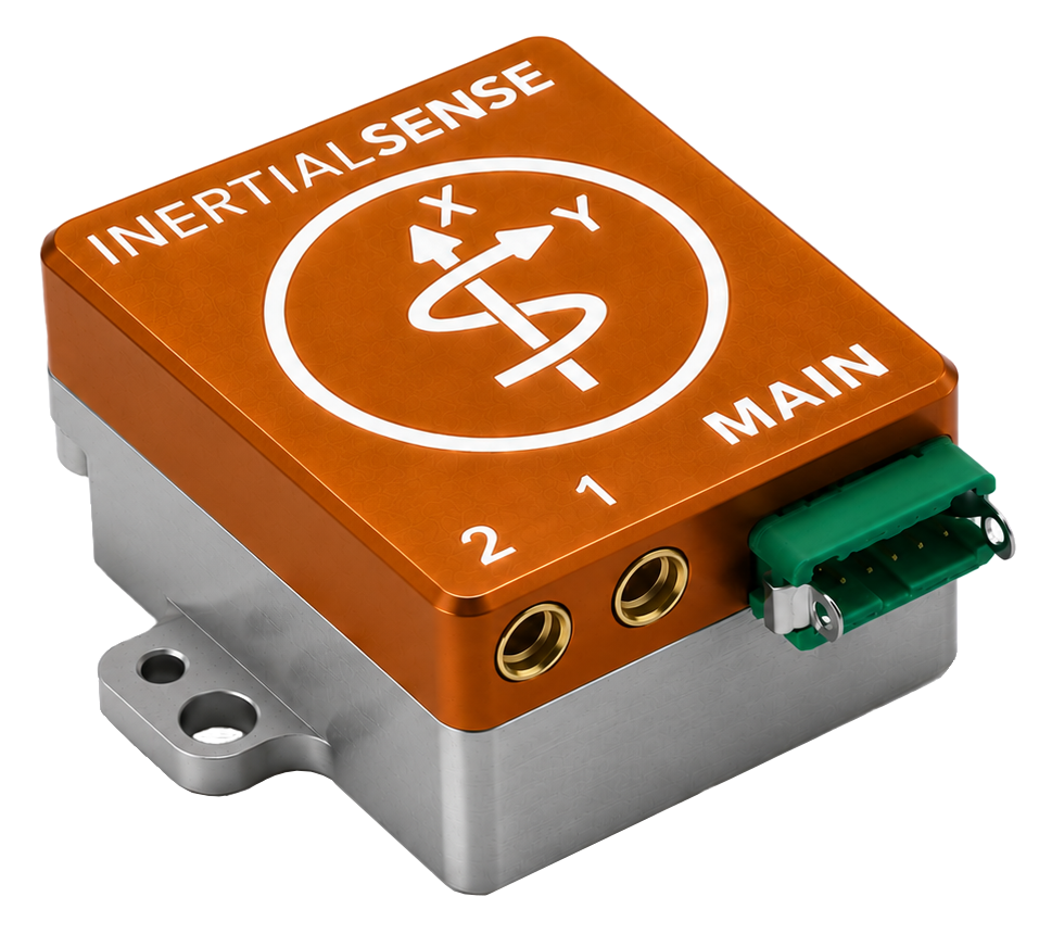
IMX-6-RTK
The IMX-6-RTK series adds onboard multi-frequency RTK-GNSS, a rugged aluminum enclosure, and RS232, RS485, and CAN bus interface to the IMX-6. The Tactical Grade RUG-4-IMX-6-RTK is our highest precision Inertial Navigation Solution.
Built inside of an aluminum enclosure, this sensor is prepared to take you through difficult terrain. Onboard Real Time Kinematics (RTK) GNSS provides centimeter level precision. The Inertial Sense IMX-6 gives Tactical Grade Inertial performance while fusing to one of the most powerful GNSS receivers on the market. This unit provides sensor fusion for roll, pitch, magnetic heading, velocity, and RTK precision position.
Features
- Tactical Grade IMU
- Onboard Multi-Frequency (L1/L2) GNSS Receiver
- RTK Centimeter Level Precision
- Rugged IP40 Aluminum Enclosure
- Gyro: 1.5 °/hr Bias Instability, 0.10 °/√hr ARW
- Accel: 2.8 µg Bias Instability, 0.013 m/s/√hr VRW
-
0.03° Dynamic Roll/Pitch
0.09° Dynamic Heading - Fast Integration with SDK and Example Software
- Data Logging (SDK and Application Software)